Noralee Ranch
| Listing Number: | OM51B-D, F-H, J-K |
|---|---|
| Size: | OM 51B: 160 acres OM 51C: 160 acresOM 51D: 160 acres OM 51F: 160 acres OM 51G: 160 acresOM 51H: 160 acres OM 51J: 80 acres Om 51K: 80 acres Total: 1120 Acres |
| Map Reference: | 93L |
| Price: | SOLD |
| Legal: |
|
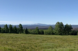
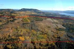
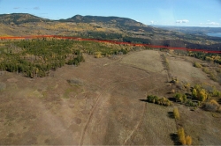
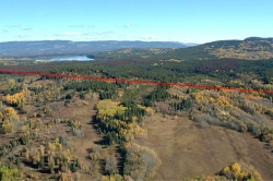
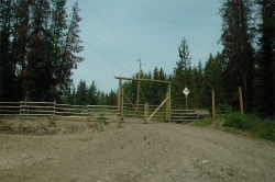
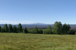
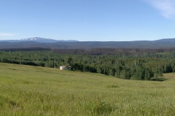
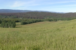
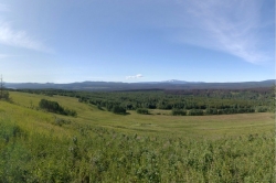
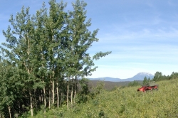
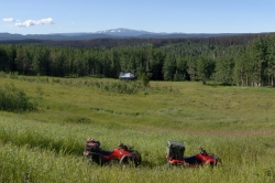
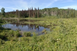
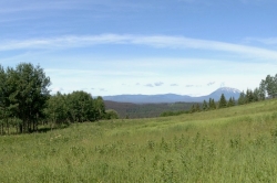
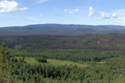
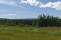
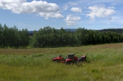
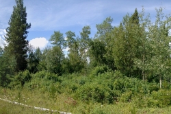
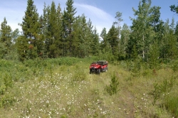
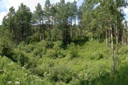
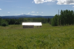
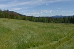
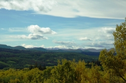
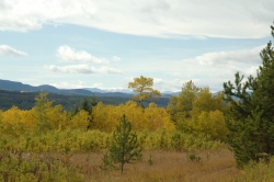
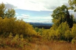
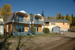
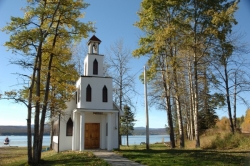
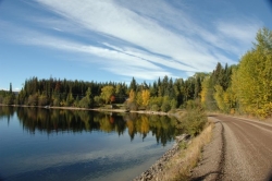
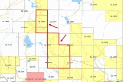
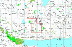
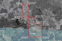
| Description: | This spectacular property is one of the most unique listings NIHO has offered for years. This 1120 acre property is split among 8 different titles in some of prettiest countryside of British Columbia. The majority of the property is undeveloped. There is about 337 acres of hayland or improved pasture and it is unfenced. There are several significant stands of aspen and spruce trees throughout the property. There is a maintained gravel road into the property, and an extensive system of rough trails grants you access to every part of this ranch. The network of streams on the property provides a steady water supply. There is also a well dug on this property. Power and phone are available here. District Lot 4491: This section of the ranch is mostly open meadow, displaying good quality soil development and lush vegitation. While currently not developed for agricultural use, there is good potential for agricultual development. Part of the NE ¼ of District Lot 4530: This section consists of multiple open grassy meadows surrounded by young aspen stands. This property has good views of the surrounding countryside. Part of the SE ¼ of District Lot 4530: This section has been heavily developed for agricultural use, with lush productive hayfields and pastures covering 60% of the property. This is one of the best parcels on the Noralee Ranch regarding soil quality and agricultural development. Part of the SW ¼ of District Lot 4531: This section is similar to that of the previous section, except that only 50% of the property has been put into agricultural development. Several old ranch buildings are located on this property. This section has excellent potential for hay crops or spring/fall pasture. Part of the W ½ of District Lot 4534: This section could have been part of the original homestead due to several large sheds and various timber boards found on the property. It has been developed for agriculture in the northern half, with several shallow creeks running through the property towards Francois Lake. Part of the E ½ of District Lot 4535: A hayfield takes up most of the northeast section of this property, with young stands of aspen and spruce found in the south and west sections. Van Lear Creek runs through this property northwest to southeast. Part of the SW ¼ of District Lot 5210: This parcel has been used mainly for accessing the northern section of the Noralee Ranch, with gravel trails through open clearings consisting of most of the property. Part of the NW ¼ of District Lot 5210: This section consists mainly of beautiful grassy meadows with great views of the surrounding countryside. There is very good potential for hayfields and pastures on this parcel due to the very good soil development. The existing timber stands are very young, and could be cleared easily to expand hay fields and pastures. Most of the adjacent land to this property is undeveloped, used for forest resource management or is Crown land, providing privacy to the Noralee Ranch. Much of this region is similar farmland, with small communities clustered around nearby Francois Lake. The soil quality for agricultural use is extremely good in this area. A recent report conducted for NIHO shows that the dominant soil Subgroup was Dark Gray Luvisol, with multiple sites displaying Dark Gray Chernozemic development. To the best of our knowledge, the Dark Gray Chernozemic soil development classified at many testing sites on the Noralee Ranch has never before been identified in this region of British Columbia. The Noralee Ranch is located close to the popular Noralee Resort on the banks of Francois Lake. Services here include a 28 seat restaurant, grocery store, public washrooms and showers, as well as the services to their campground, RV sites and heated cabins. A well maintained boat launch is located at the resort providing services to local fishermen. |
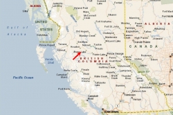
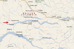
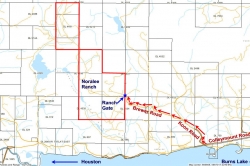
| Location: | This property is located off Colleymount Road in Noralee, about 80 km (49.7 miles) from Burns Lake. The property is about an hour’s drive from Burns Lake and about a four hour drive from Prince George. |
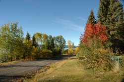
| Access: | For an access map to the property, click here For directions on how to access the property from Vancouver, click here For directions on how to access the property from Houston, click here Colleymount Road connects the smaller communities along the north side of Francois Lake to Highway 16. This road is maintained year-round by the Ministry of Transportation and is graded throughout. In the summer it is watered to keep the dust generated by traffic to a minimum. In the winter it is cleared so that traffic can continue using the road. The airport at Burns Lake can handle smaller private aircraft and charters. The nearest commercial airport is at Smithers. Regular air service is provided by Air Canada’s Jazz Airlines, Central Mountain Air, and Northern Thunderbird to Vancouver and other points in British Columbia. Prince George Airport is the regional airport for Northern B.C., and is expected to play a key role in the economic development of the area. The airport is undergoing a major expansion, with renovations to its runways and international cargo plane fuelling capacity recently completed. At the end of the expansion, the airport is expected to be able to accept 747 airplane landings. The airport opened an International Customs and Canada Border Service area in 2005 and currently accepts international charter flights. |
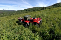
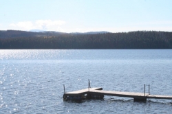
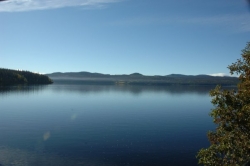
| Recreation: | Francois Lake is approx. 110 km (68 miles) long, making it the second largest natural lake in British Columbia. It offers excellent rainbow trout and char fishing. Rainbow trout over 3 pounds and lake trout (char) to over 20 pounds are not uncommon. Water sports of all sorts are popular, with opportunities for boating, kayaking and canoeing. This area has many forest recreation sites, which offer trails for hiking and mountain biking. In the winter ice fishing, cross-country skiing and snowmobiling are popular. Noralee Resort has the only private boat launch on Francois Lake in the area. This popular resort offers heated cabins, camping and RV sites to its guests. Fishermen and campers can also stock up on supplies at their grocery store before heading out. The next closest boat launch is located 9 kilometres (5.6 miles) from the Francois Lake ferry. The closest gas station is at Burns Lake or Houston, an hour’s drive away. This property is located close to large tracts of open Crown land, providing public access for horseback riding, quad and ATV driving, and in the winter, snowmobiling. Close to this area is North Tweedsmuir Provincial Park, one of the most scenic provincial parks in the province. Tweedsmuir Provincial Park appeals primarily to outdoor recreationists interested in boating, angling, camping, hiking or hunting in one of North America’s most magnificent wilderness areas. Outdoor recreation opportunities are almost unlimited. Parts of the park are open to hunting in the fall. The entire area known as the Lakes District is famous for its excellent fishing and game. There are a number of resorts throughout this area which offer boating, fishing, hiking, horse-back riding, camping, cross country skiing and many other activities. This area is well known for its hunting and wildlife watching opportunities. Black, cinnamon and grizzly bears, deer, moose, wolves, coyotes and eagles can often be observed in the area. |
| Services: | This property has a well, power and phone. |
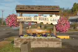
| Area Data: | Burns Lake is the nearest community with a population of 2,000 in the village. The first thing that strikes you when you enter this town is the welcoming sign with enormous chainsaw-carved trout and the inscription “Three Thousand Miles of Fishing”. The other large community close to the Noralee Estates is Houston with 4173 citizens. This community is known as the “Steelhead Capital of Canada” due to the unparalleled fishing in the nearby lake and river systems. The Noralee Ranch is located within the Lakes District which is noted for sunny skies and moderate rainfall of less than 20 inches per year. This area is known for clean air, friendly people, inviting lakes, wandering country roads, abundant wildlife and the spectacular beauty of nearby Tweedsmuir Provincial Park. |
| History: | Burns Lake is called the “Heart of the Lakes District” and “Gateway to Tweedsmuir Park”. The village takes its name from Michael Byrnes, an explorer in the area who passed by the lake in 1866. Settlers were initially drawn to the area by the promise of gold in the Babine Lake vicinity. The actual village was formed in 1914 to service the workers creating the Grand Trunk Pacific Railway through the area. The arrival of the railway opened the forest industry, drawing more settlers and creating a stable economy for the area. The tiny community of Noralee was named after Nora & Lee Newgard, who were the first postmasters of Noralee and briefly operated a store in the area. Francois Lake got its current name by mistake. The Carrier First Nations named the lake Nitapoen Lip Lake because of its shape. The early settlers mistook ‘Nita’ for white man and the lake was named ‘Lac de Francois’ because most of the early settlers at the time were French Canadian voyageurs. During the early years,the local residents pronounced it ‘Francis Lake”, however, it is now known as “Francois Lake”. |
| Vegetation: | Aspen, pine and spruce stands can be found throughout this property. |
| Taxes: | $2357.23 (2014) |
| Zoning: | This property is mostly zoned RR1 (Rural Resource) Agriculture, single, multiple and seasonal dwellings, logging and silviculture, guest ranch, rural retreat, unpaved airstrips and helipads are permitted here. Dwellings on the property are restricted to four seasonal dwellings, two single family dwellings or one two family dwelling. This property is not in the ALR |
